OUR SERVICES
Geospatial and Software
Geospatial and Software Services
- Geospatial data production
- Landscape modeling
- Geospatial and ecological data management
- Ecological software tool creation
- UAV data collection
Modern Solutions for Timeless Resources
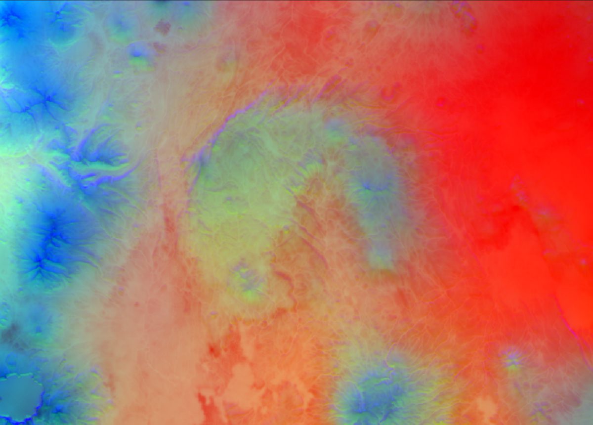
Resilient Forestry has a robust and sophisticated geospatial analysis program. We regularly complete large geoprocessing projects covering hundreds of thousands to millions of acres. We work with a broad range of geospatial datasets, including NAIP, SSURGO, GNN, LANDFIRE, Landsat, and Sentinel. In addition, we develop custom geospatial products as a service. Through a combination of robust statistical modeling and efficient data processing workflows, we are able to produce fine-scaled, rasterized datasets tailor-made to answer your landscape-scale questions.
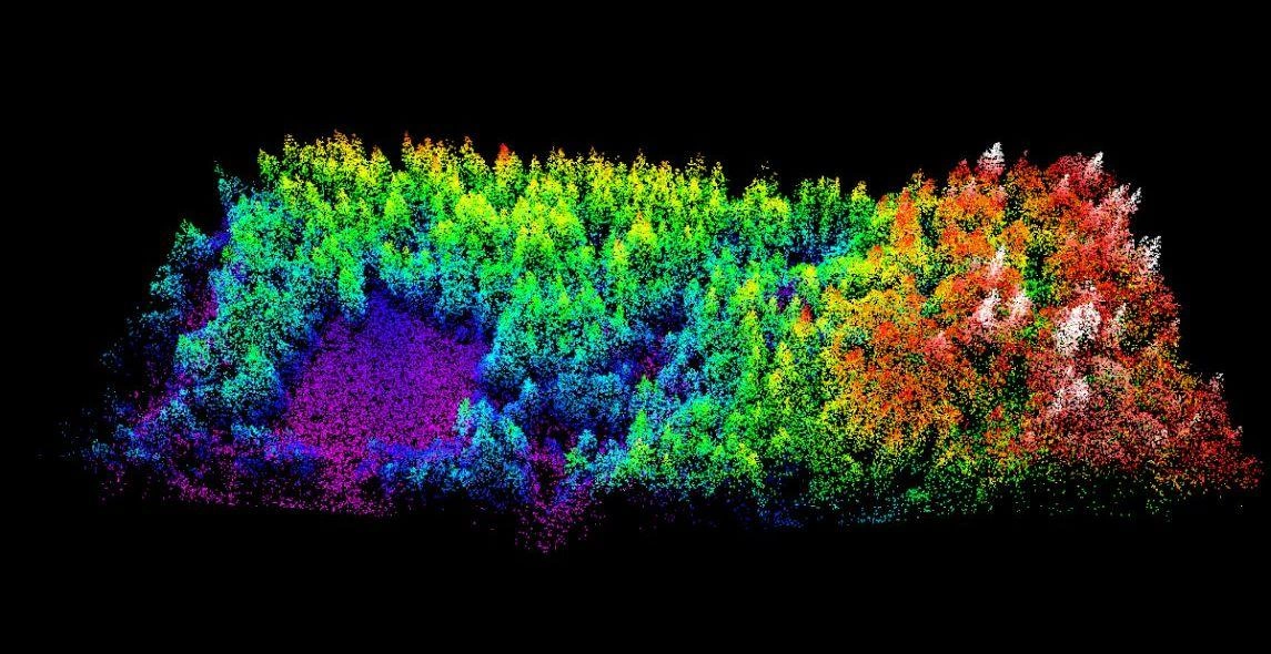
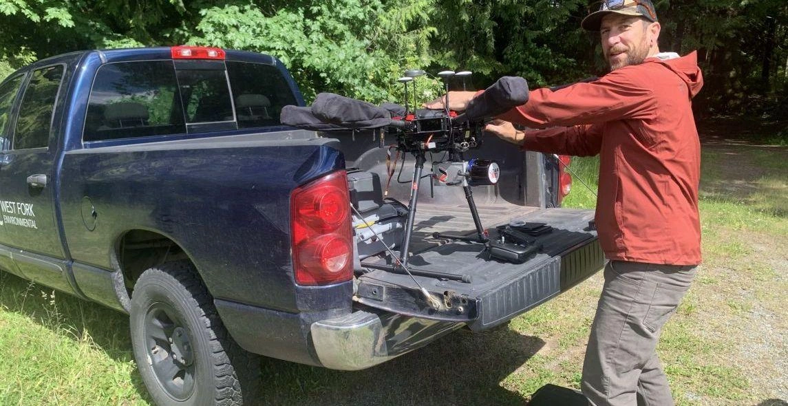
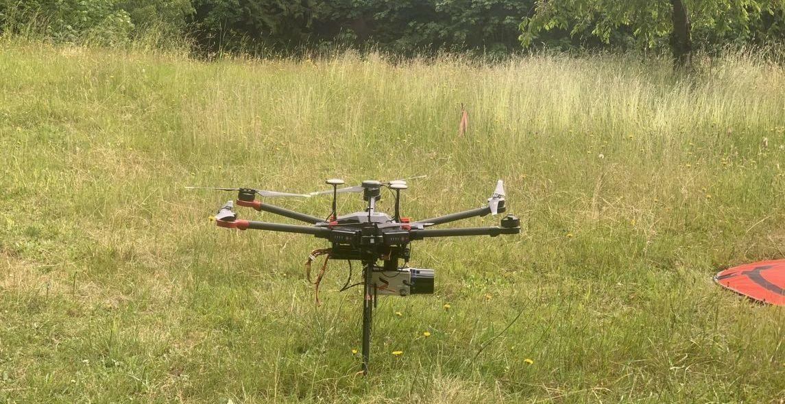
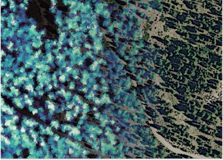
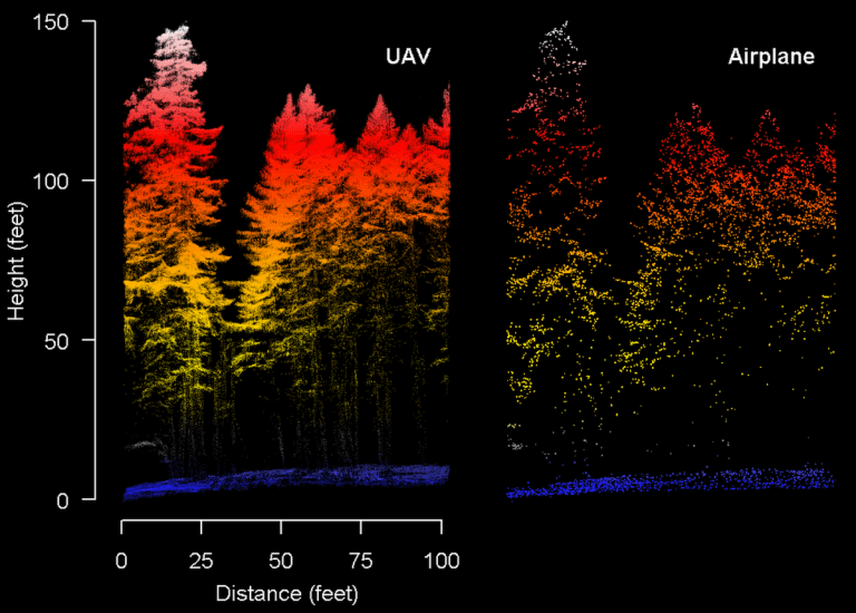
We maintain in-house capabilities to collect lidar and imagery data from a UAV (drone) platform. We can process and analyze these data to create a suite of forest inventory metrics for any area and simulate potential treatments. We are recognized experts in applying lidar data to ecological forest management planning and implementation.
We have considerable experience managing large geospatial datasets of varying kinds. We leverage cloud computing services to store large volumes of geospatial data and to process data quickly. Our custom data processing solutions allow us to rapidly execute workflows that take others weeks to complete. This allows us to deliver products to you more quickly and explore data more freely, leading to more mature and meaningful data products on shorter timelines and smaller budgets.
If you need a custom software solution, our experienced team is ready to produce anything you can dream up. Whether you are looking for a custom data product, a processing workflow, or an app to use in the field, we will work with you to define concrete software requirements, implement the work, deploy your product, and provide ongoing support. We excel at optimizing data- and processing-heavy tasks and at making the best use of remote sensing products and field-friendly technologies.