
BLOG Geospatial and Software
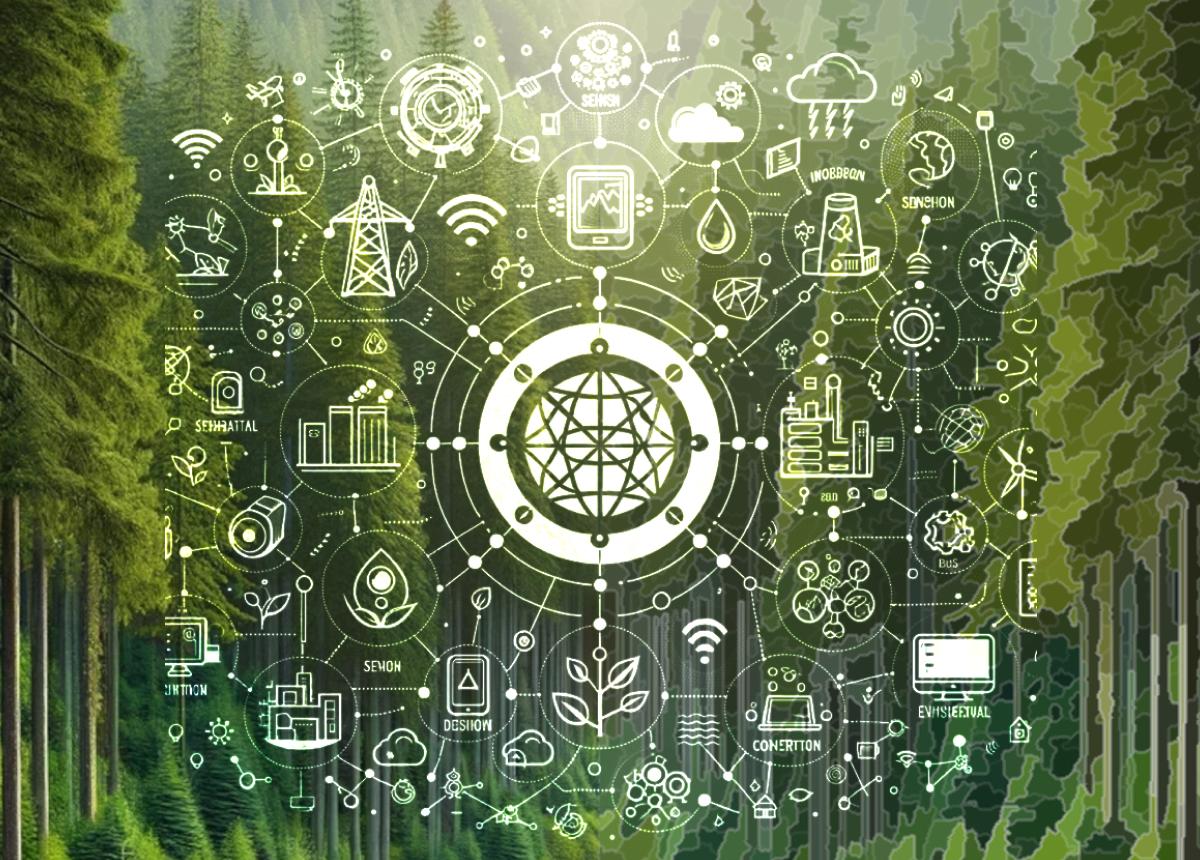
Forest Digital Twins and the Internet of Things
Recent advancements in technology have revolutionized our methods to assess forest composition, structure and function. Novel tools like soil sensors, portable weather stations, drone spectral imagery, and laser scanning enable precise measurements of canopy height, tree density, species composition, evapotranspiration, soil carbon storage, among others.
Sentinels in the Sky: Harnessing Aerial Technologies to Monitor Forest Health Treatments
Monitoring the outcomes of forest health treatments is essential to evaluate their success (or lack thereof) and to prescribe subsequent treatments accordingly.
Towards Socio-Ecological Resilience
Resilience is in the name of our company. As such, we are actively working with clients and partners to design science-based strategies to promote landscape resilience.
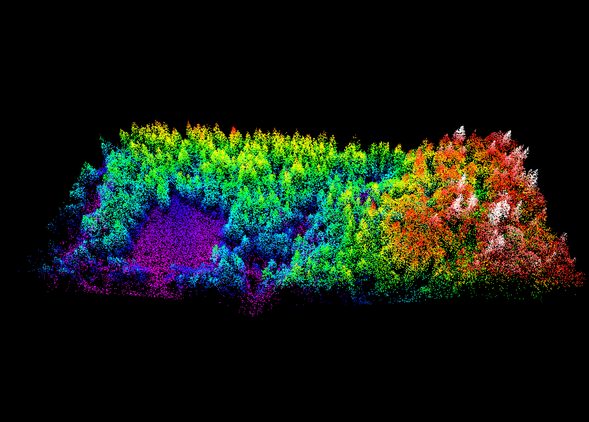
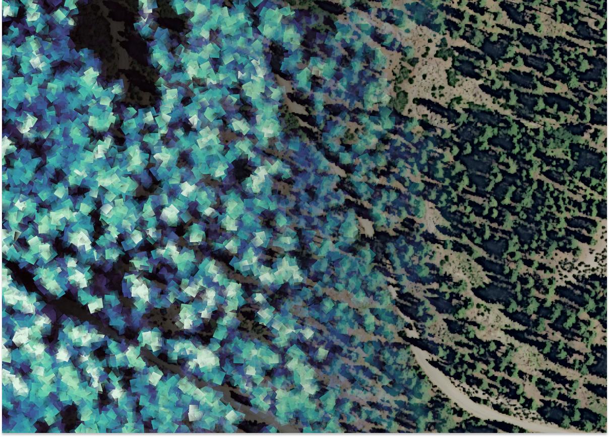
Duvall UAV Lidar
“I am overall very happy with all the product[s] and what has come out of the data”
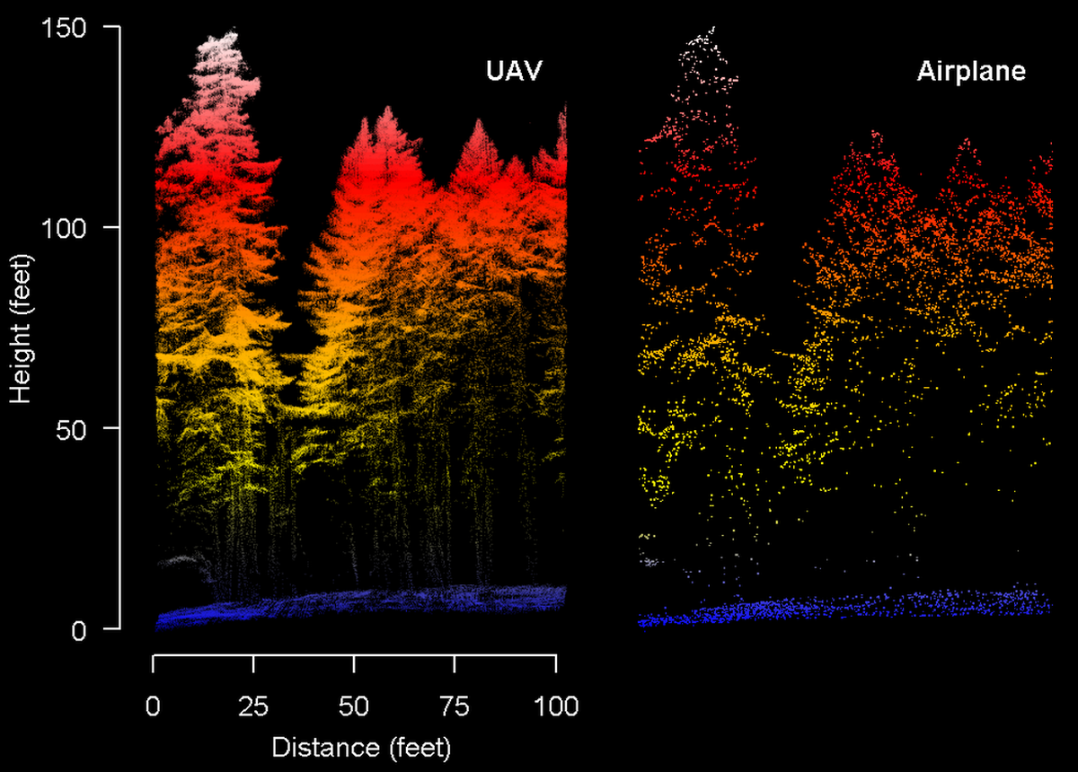
UAV Lidar in Forestry
UAV lidar is poised to fill a key role as a complement to airplane-based lidar.